The AIATSIS Map of Indigenous Australia
The AIATSIS Map of Indigenous Australia
AIATSIS
Couldn't load pickup availability
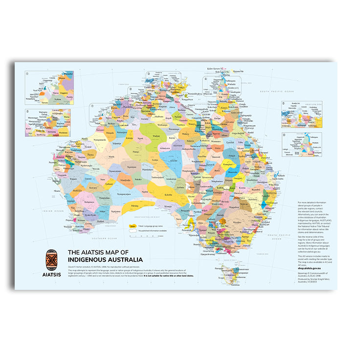
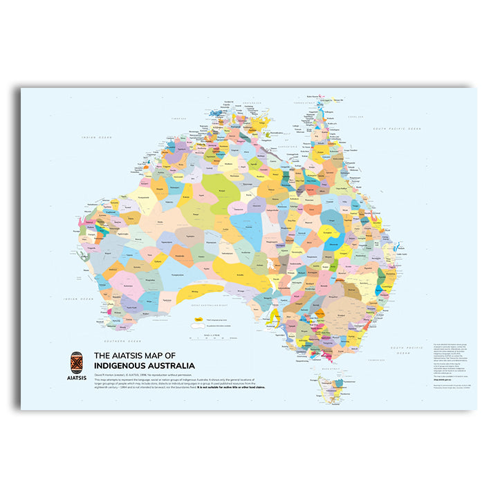
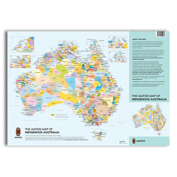
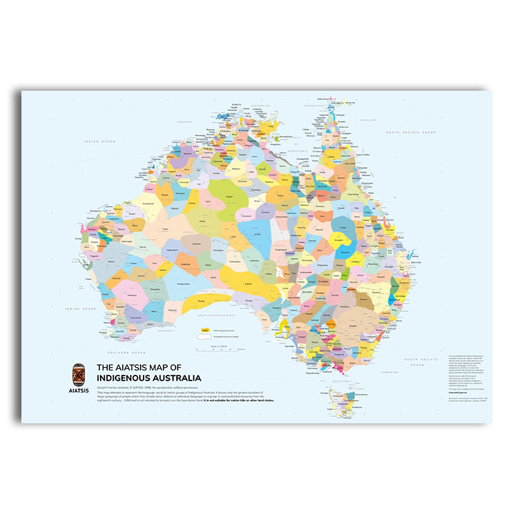
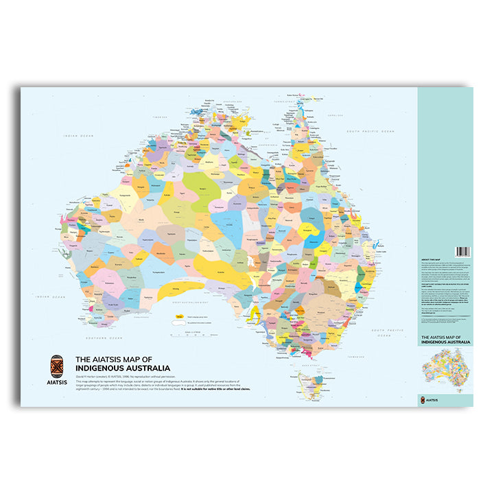
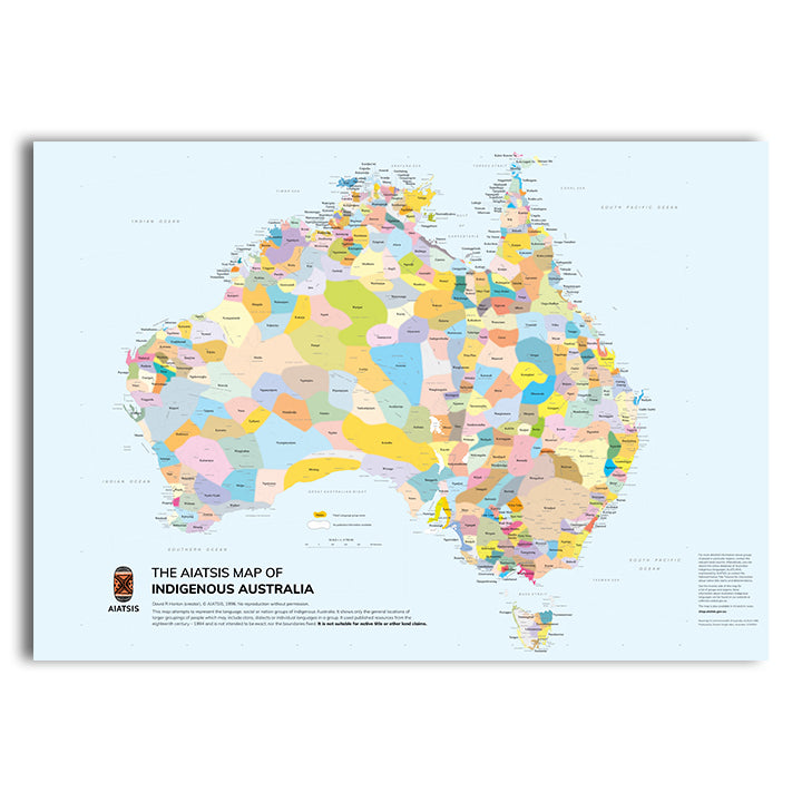
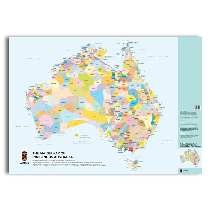
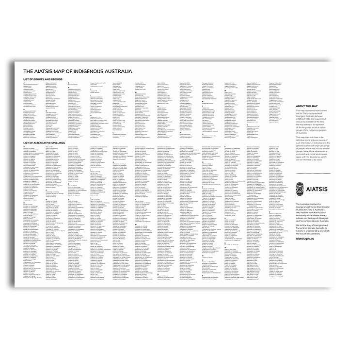
This map is a perfect take-home product for tourists and anyone interested in the diversity of Australia's First Nations peoples.
Aboriginal and Torres Strait Islander Australia is made up of many different and distinct groups, each with their own culture, customs, language and laws.
This map represents the general locations of these groups and their languages and more; but not exact or fixed boundaries. It serves as a reminder of the richness and diversity of Aboriginal and Torres Strait Islander Australia.
It was created in 1996 as part of the Encyclopaedia of Aboriginal Australia and some of the information shown on the map remains contested today.
Explore this map and learn about the alternative spellings of names; and also the online interactive map and language databases on the AIATSIS website.
To reproduce this map or use it for other than personal use, apply for permission through Map Licensing.
Disclaimer:
This map attempts to represent the language, social or nation groups of Aboriginal Australia. It shows only the general locations of larger groupings of people which may include clans, dialects or individual languages in a group. It used published resources from the eighteenth century-1994 and is not intended to be exact, nor the boundaries fixed. It is not suitable for native title or other land claims.
David R Horton (creator), © AIATSIS, 1996. No reproduction without permission.
Production Details
Map dimensions when flat:
- Small: 297 x 420 mm
- Medium: 594 x 841 mm
- Large: 841 x 1188 mm
Map dimensions when folded:
- Small: 105 x 150 x 1 mm
- Medium: 105 x 150 x 5 mm
- Large: 150 x 210 x 10 mm
